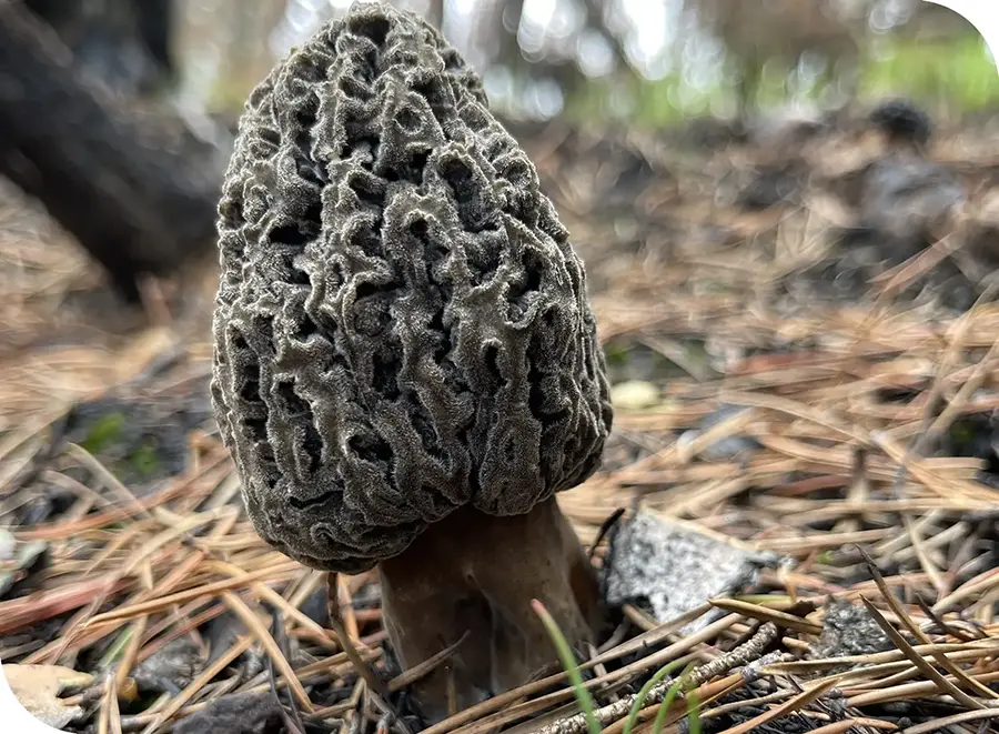
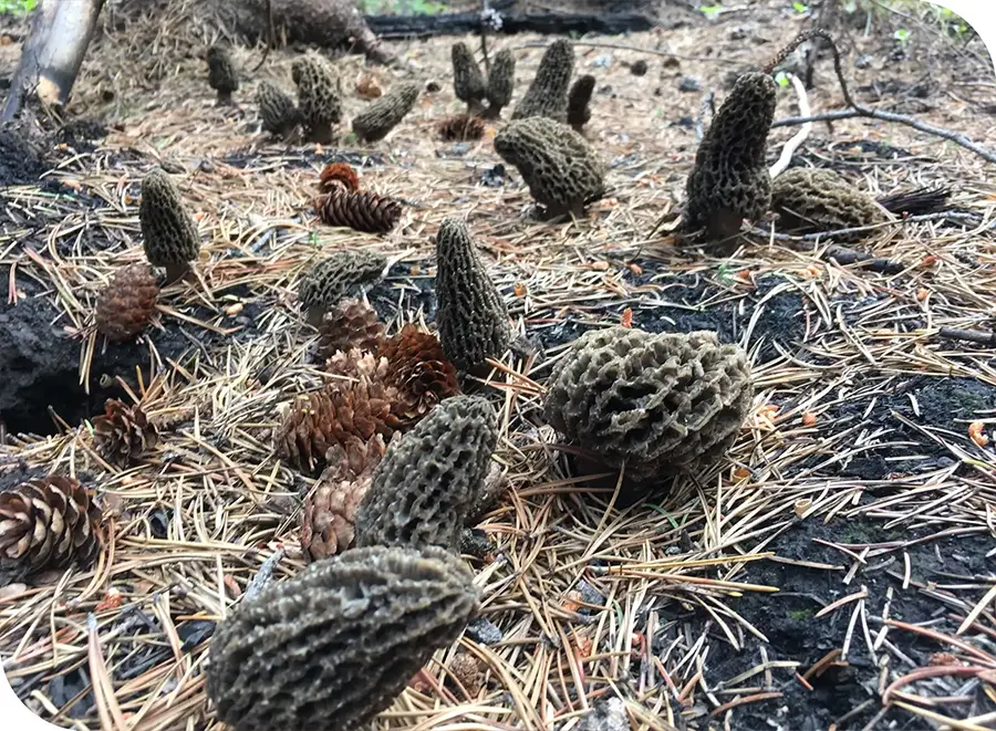
Young M. tomentosa, Salmon fire ID
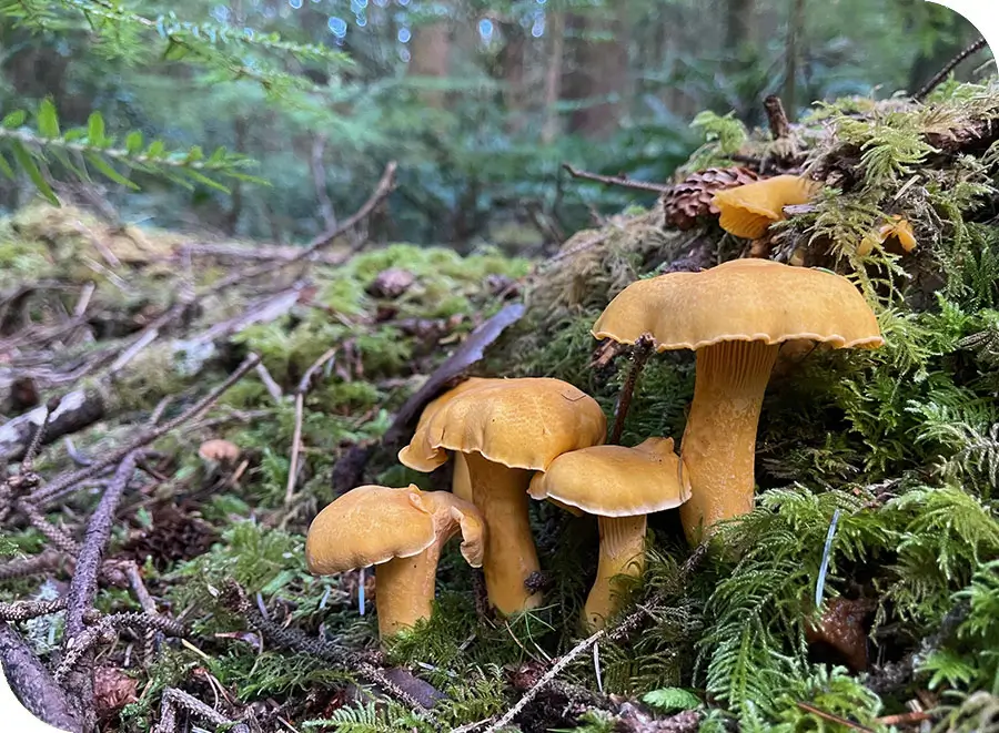
Oregon Pacific Golden Chanterelles
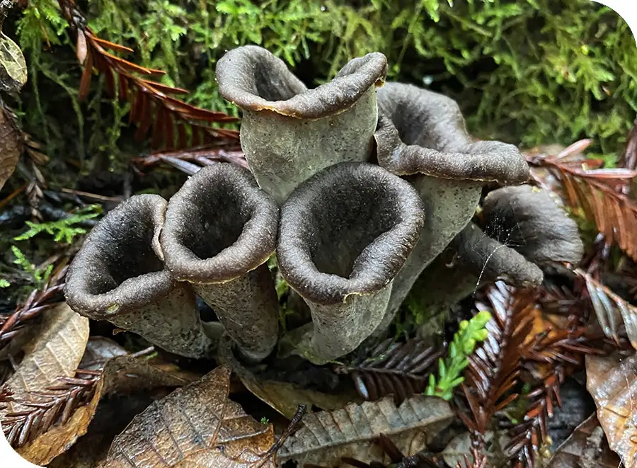
CA Black Trumpets in Tanoak
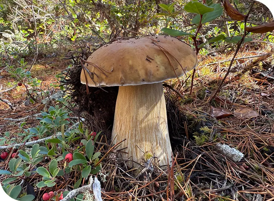
Oregon Coast Porcini, Boletus edulis
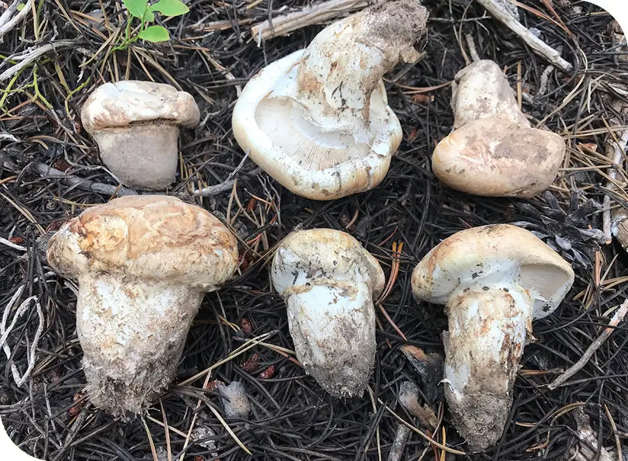
Colorado Sylvan fire 2022
Matsutake, Oregon Dunes
2026 Webinar Schedule
Join us for one of our free webinars. Upcoming Webinars Wednesday May 20th, 2026 | 6PM Pacific An Introduction to Finding More Mushrooms with GeoForager ...

Oregon Mushroom Picking Permits and Regulations
Mushroom foragers in Oregon – and many other states – have to navigate a plethora of rules, regulations and permits to stay “legal.” The rules ...
Use Markers (Waypoints) to Save Your Favorite Spots
Markers (or Waypoints) let you save specific locations – especially of mushrooms 🙂 – with custom icons, descriptions and photos. Markers allow you to organize ...